Night Hike Vargas Plateau Regional Park
Date and Time:
Sat, Jun 7, 2025; 6:00 PM
- 10:00 PM
(Pacific)
Add to Calendar
06/07/2025 6:00 PM
06/07/2025 10:00 PM
America/Los_Angeles
Night Hike Vargas Plateau Regional Park
Night hike to Vargas Plateau Regional Park via the Cliff Trail, Deer Gulch Trail, Upper Ranch Trail, Golden Eagle Trail and Morrison Canyon Road. If the night sky is clear, we will have access to a telescope to view the night sky including possibly galaxes, star clusters, planets and the moon. Total distance is 9 miles with approximately 1,240' of elevation. Headlamps or flashlights are recommended for short sections of the trail, but the objective is to enjoy hiking at night with no or very limited artificial illumination. Level: Moderate ++ (2C) Not a beginners hike as this hike will be difficult for new hikers, hikers out of shape, or those with phobias about hiking at night. We will stop on a regular basis but must complete the hike inside the park by 10 p.m. when the park closes. This means we have 3 hours to complete a 9mile hike with some elevation gain.
Morrison Canyon Road and Canyon Heights Drive
Webinar URL: https://www.meetup.com/sanfranciscobay/events/283045683/
37.56870600,121.65798000
William Yragui
wyragui@missionpeakconservancy.net
MM/DD/yyyy
amOUuwqNAzpGSXwtHmnd12740
Organized By: So Alameda County Group
Location: Morrison Canyon Road and Canyon Heights Drive
Map | Directions
Event Organizers:
William Yragui
wyragui@missionpeakconservancy.net
650-642-5150 cell
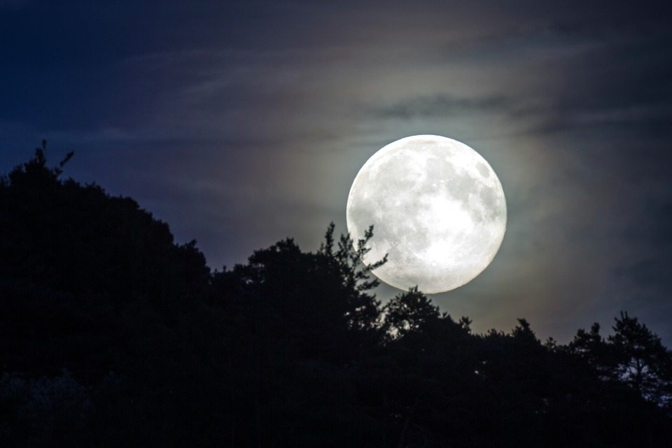
Synopsis: Night hike to Vargas Plateau Regional Park via the Cliff Trail, Deer Gulch Trail, Upper Ranch Trail, Golden Eagle Trail and Morrison Canyon Road. If the night sky is clear, we will have access to a telescope to view the night sky including possibly galaxes, star clusters, planets and the moon. Total distance is 7.5 miles with approximately 1,240' of elevation. Headlamps or flashlights are recommended for short sections of the trail, but the objective is to enjoy hiking at night with no or very limited artificial illumination. Level: Moderate ++ (2C) Not a beginner’s hike as this hike will be difficult for new hikers, hikers out of shape, or those with phobias about hiking at night. We will stop on a regular basis but must complete the hike inside the park by 10 p.m. when the park closes. This means we have 3 hours to complete a 9mile hike with some elevation gain.
https://www.meetup.com/sanfranciscobay/events/294423548/
Level: Strenuous(2C)
Cost: No cost
Signup Instructions: https://www.meetup.com/sanfranciscobay/events/308100628/
Bring: Two liters of water, lamp, snack, layered clothing, and enthusiasm. Recommend well-fitting boots for traction and ankle support. Hiking poles are very helpful for this hike.
Carpool: Don't. Let's stay safe and avoid infecting each other.
Note: Carpool transportation is at the sole risk of the participants.
Cancellation Policy: Activity is held rain or shine, but may be altered due to inclement weather
Vargas Plateau Trail Map